Built St. Louis > > East St. Louis > > Central South
|
|
Central Neighborhoods: South
|
|
|
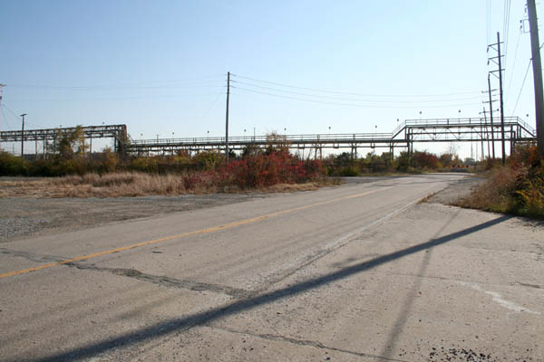
...passes beneath an unused pipeline trestle... |
|
|
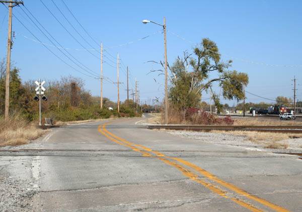
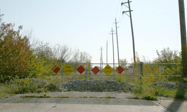
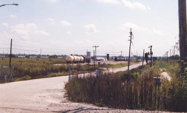
....and comes to a dead end, closed off several years ago. S. 20th Street became Upper Cahokia Road beyond this point; I have yet to track it back around and see what remains on the other end. City streets and grids come to an abrupt end here; marshes and railroads suddenly dominate, the only development as far as the eye can see. |
|
|
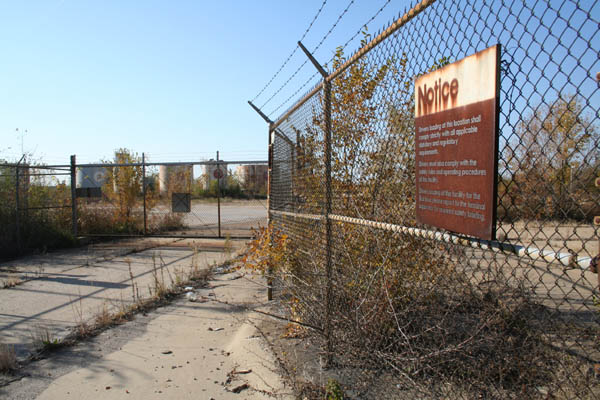
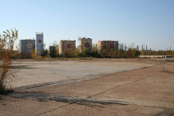
The pipeline once served this now-abandoned oil tank farm. |
|
|
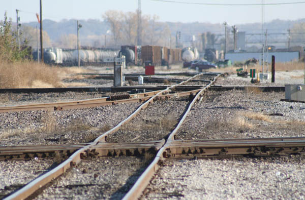
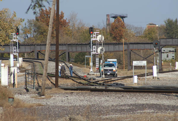
A large rail yard marks the end of urban development. |
|
|
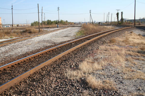
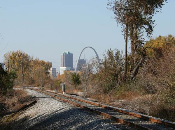
The approach trestle for the MacArthur Bridge begins at this point. |